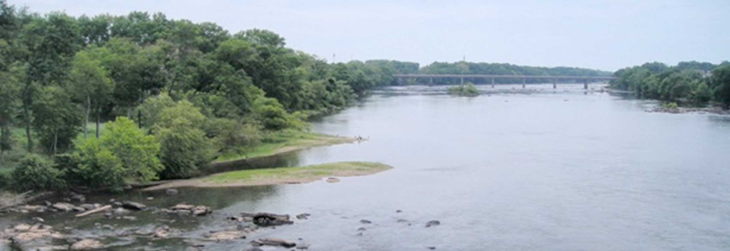
The Congaree River begins in Columbia where the Saluda River and Broad River join together. It is bordered on the east by the City of Columbia and on the west by the Cities of Cayce and West Columbia. It flows for approximately 47 miles until it merges with the Wateree River. Congaree National Park is located about halfway down the river's course.The Congaree River is a popular area for swimming, canoeing, fishing and other recreational activities.
The South Carolina Department of Health and Environmental Control (DHEC) has confirmed the presence of a tar-like material (TLM) in the sediments and soils of the Congaree River between the Gervais and Blossom Street bridges. The source of the TLM was determined to be from discharges of coal tar from a former manufactured gas plant (MGP) originally located between Huger, Hampton, and Williams Streets and owned by SCE&G (now Dominion Energy). This MGP operated from 1906 until the mid-1950s. DHEC has been overseeing the investigation and assessment of TLM in the river since June 2010. By 2013, DHEC had evaluated potential cleanup alternatives and narrowed the viable alternatives down to four before pursuing a removal option.
Cleaning up the TLM in the Congaree River is difficult because of several unique complexities which limit the options and techniques available. First, this portion of the river is underlain by granite bedrock with only a few feet of sandy sediment which eliminates the ability to place a piling wall as a barrier. Further, this portion of the river is where the Union Army disposed of much of the Confederate armory in February 1865. This creates a need to consider that unexploded ordinances (UXOs) could be buried within the sediment and requires that a removal would need to be conducted in the dry instead of using a dredging tool to remove TLM. Additionally, any items that may be found dating to the Civil War would be historical artifacts that are of interest to the State Historical Preservation Society.
In October 2015, the Columbia area was hit with a massive rain event causing widespread flooding and the river reached record levels. This rain event also breached the Columbia Canal (just upstream from the TLM impacted area) and deposited thousands of tons of “new” sediment downstream. Much of the TLM impacted sediment was covered with a significant layer of new sediment.
After pursuing both a full-scale removal approach and a sediment capping approach for the Congaree River, DHEC, along with SCE&G, the Congaree Riverkeeper, river bank property owner representatives, the City of Columbia, and the SC Governor’s Office have worked cooperatively to develop a Modified Removal Action. The Modified Removal Action would allow for the removal of TLM-impacted sediment in areas of the river that are most recreated, areas where there is the most potential for exposure, and where the majority of TLM volume exists in the river.
For more information, please contact Greg Cassidy at 803-898-0910.